 |
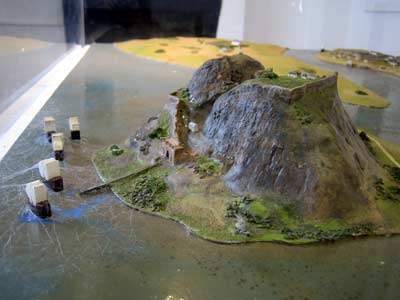 |
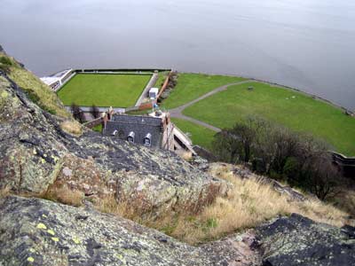
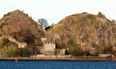
| Dumbarton Rock, known as "Dun Breatann", "Alcluith" or "Alt Clut", which means "Clyde Rock", was first mentioned in 450AD when St Patrick reprimanded the soldiers of Ceredig of Alcluith, king of Strathclyde, for a piratical raid on his Irish converts. In the Dark Ages, Scotland comprised four separate kingdoms, Northumbria to the south, the Picts to the east and the Scots of Dalriada to the north and west, as well as the Britons of Strathclyde. There is evidence to suggest that the rock continued as the fortress of the Britons until Strathclyde was finally integrated into the Scottish kingdom in 1034. The rock is 240ft (73m) high and flanked on one side by the River Clyde and by the River Leven on the other two. It is twin-peaked, with a flatter cleft in the centre.
|
 |
 |
| James VI, Marie Stuart's son, moved to London without seeing Dumbarton, and the castle was not visited by another monarch until Queen Victoria landed there in 1847 on her royal yacht "Fairy". It is hard to imagine today, the flurry of activity Dumbarton must have witnessed in its heyday. When Marie Stuart visited the castle again in 1563, the banquet tables were supplied with 144 loaves, 150 eggs, 47 trouts, 16 pounds of butter and almost 6 gallons of white wine! Having climbed to the top of those steep hills benefiting from the modern convenience of concrete steps, I dread to imagine how sore and breathless those poor servants must have been, carrying such a load! |
 |
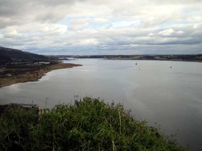 |
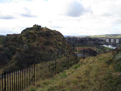
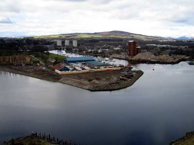
| The picture above left, shows the approach to the rock from the River Clyde. The left peak is called "White Crag", and the right one, "The Beak". The building in the forefront is the Governor's House; the medieval Portcullis Arch and later Guard House are right behind it, while the barely-distinguishable rooftop belongs to the 18th century Magazine. The photo on the right shows a stunning view of the Clyde, with the Erskine suspension bridge in the far distance, built in the 1970's. |


